Upper Macleay Flood Study
Kempsey Shire Council has engaged specialist flood consultants WMAwater to investigate the flood behaviour in the Upper Macleay River catchment, defining areas of flood risk.
This project addresses the existing and future flood problems within the Upper Macleay River Catchment. This project has been titled The Upper Macleay Rivers Flood Study.
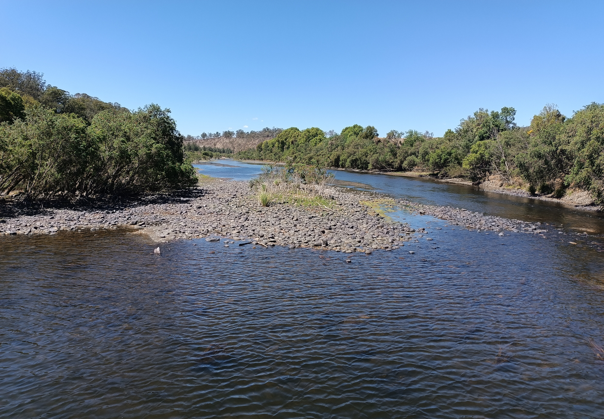
The Macleay River is located withing the Kempsey Shire Council area. The total catchment area is 10,536 km2. During heavy rain, the capacity of the river systems to convey runoff can be exceeded, resulting in flow over the floodplain, across roads and through private properties. This flooding has the potential to cut off road access to properties and, in urbanised areas, cause major damage to property and risk to life. The most notable floods in this catchment occurred in 1949, 1950, 1963, 2001, and 2011.
As part of the study, existing data and a collection of additional data is being complied based on which computer models are made to determine the extent and nature of potential flooding in the catchment.
A draft of the Upper Macleay River Flood study is expected to be made public for review in May 2024.
We encourage everyone to provide information on water levels and behaviour of past flood events. The local knowledge and personal experiences of residents and business operators are an important source of information. Questions about the Study can be directed to the following contacts at Council or WMAwater:
Kempsey Shire Council, Email: [email protected]
Monique Retallick, WMAwater, Email: [email protected]